
 Asset Publisher
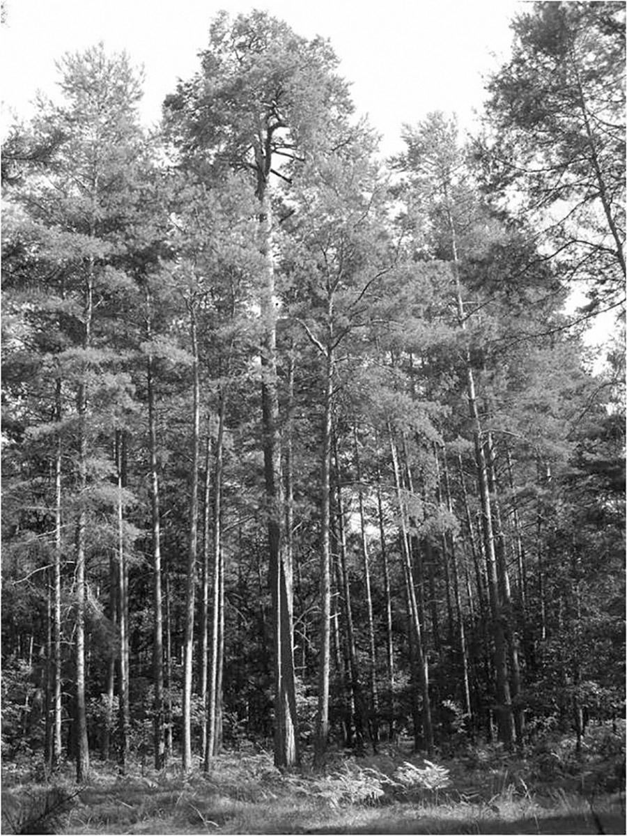
HISTORY
In 1286 the town of Gubin made a trade transaction that benefited the town and its growth for centuries, becoming its main source of income. The residents of Gubin have bought the Tholmer village, together with all its rights, outbuildings and adjacent land, from Henry the Illustrious. Although the village had been destroyed by the Husites, it was surrounded by valuable forests and meadows. The village was located around present-day Dzikowo, 8 km east of Gubin. Over the centuries, the purchase of the land proved to be a more and more valuable investment. It was a beginning of municipal forest growing on picturesque hills. The purchase was a well-founded move as the town could only expand to the east then (other directions were managed by monasteries).
In 1726 the residents of Gubin lodged a complaint on the authorities of the town on the matter of mismanagement of the municipal forests. The complaint had to do with allowing many villages to pick wood from the forests and the profit that could have been much higher. After the intervention the authorities limited wood picking (to two days a week) and made it available only for the residents of Gubin. In 1822 a forest deputation was created to manage the forest (it included the mayor, a member of the council and four residents; later also a head forester).
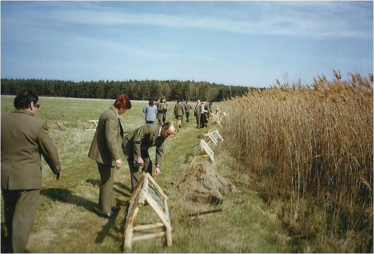
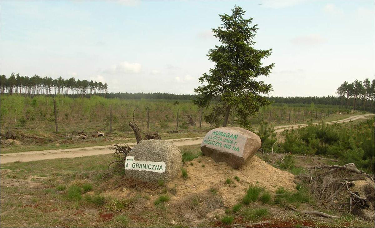
On 25 May 1830 a powerful storm has passed through the town and the forest. Around 140 thousand trees were blown down. The effects of the storm were visible for 10 years. The wood from the trees that were blown down was used for repairs of damaged buildings. In turn, in 1840 huge fires has hit the forest.
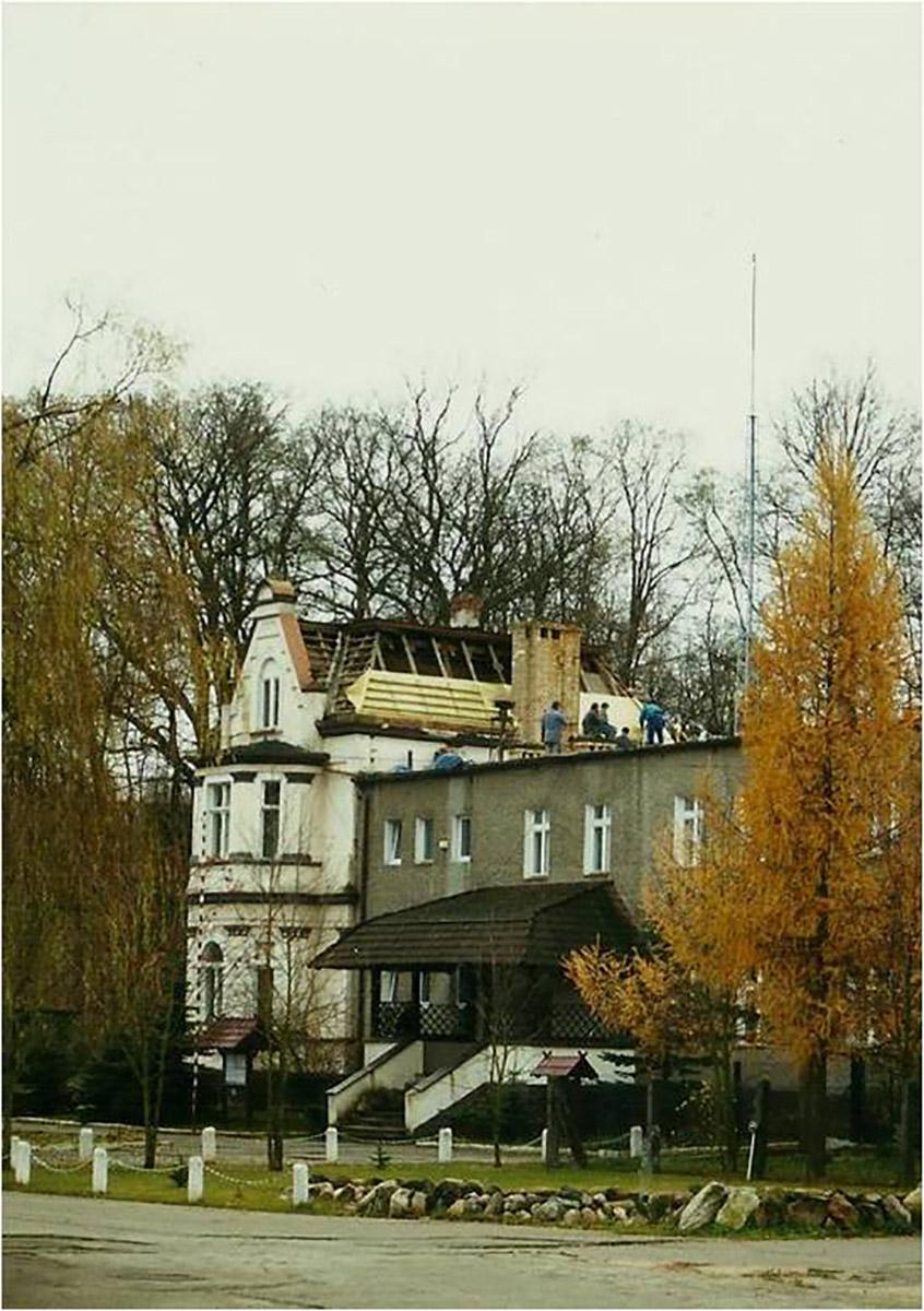
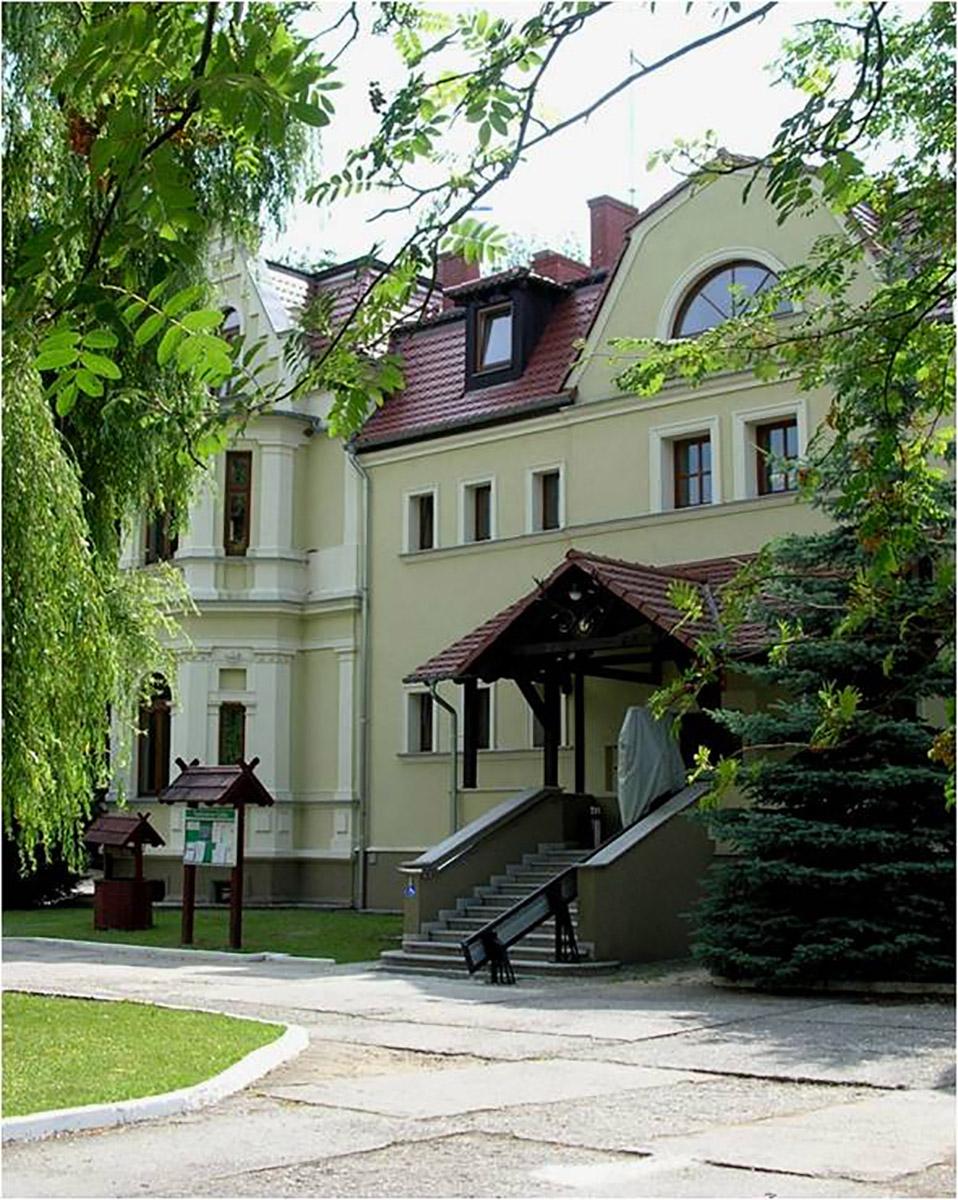
After that period, the forest management became more profitable and all the town districts were developing thanks to wise decision of the then mayor Bothmer. Dzikowo Forest District headquarters was built and the first forester obtained an office apartment. In the next years Gubin was hit by a few insect plagues. Many residents had to fight the plagues and thousands of marks were spent to fight it. In 1888 exploratory drillings were made in the forests in search for brown coal, however, the results were insignificant and unprofitable. The Municipal Forest District Office in Dzikowo was open until World War II. Its building was demolished in 1999 because of modernisation of a national road.
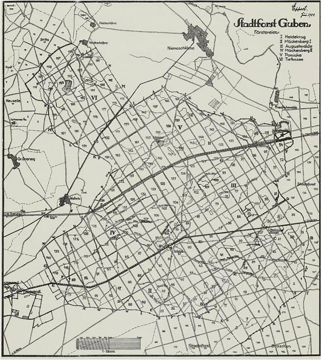
The area of around 6000 ha of municipal forests was divided into 6 forest rangers area in those times.


Asset Publisher


Asset Publisher
Wykaz dróg leśnych udostępnionych do ruchu oraz miejsc postoju pojazdów
Wykaz dróg leśnych udostępnionych do ruchu oraz miejsc postoju pojazdów

Załącznik nr 1 do Zarządzenia nr 26
Nadleśniczego Nadleśnictwa Gubin
z dnia 29.06.2021r.
Wykaz dróg udostępnionych
|
Lp. |
Nazwa drogi / nr dojazdu pożarowego |
Nr inwentarzowy |
Leśnictwo |
Opis trasy (skąd/dokąd) |
Przebieg przez oddziały leśne |
Długość drogi (mb) |
Czasowe udostępnienie drogi |
Rodzaj nawierzchni |
|
1. |
„Kosarzyńska” |
- |
Borek |
Wjazd z drogi powiatowej nr 1153F- do ośrodka „OAZA”, oraz od strony miejscowości Kosarzyn |
Obręb Chlebowo 10, 11, 7, 15, 16, 25, 26, 27 |
3 550 |
- |
Droga gruntowa |
|
2. |
„Mielnicka J-11” |
220/1570 |
Suchodół |
Wjazd z drogi powiatowej nr 1106F Mielno- Suchodół, oraz Suchodół-Mielno |
Obręb Jasienica – 285, 284, 283, 282, 281, 280, 279, 278, 277, 276, 275, 274, 273, 272, 272 |
5 000 |
- |
Droga utwardzona tłuczniem |
|
3 |
Część „Czarnej drogi - dojazd nr 3” |
220/510 |
Dębowiec, Kaniów |
Wjazd z drogi krajowej nr 32, Dzikowo-Pole-Kaniów |
Obręb Gubin – 100, 125, 153, 174, 175, 191, 217, 233, 174, 173, 172, 188, 216, 215, 231, 230, 239, 248
|
9 600 |
- |
Droga gruntowa |
Załącznik nr 2 do Zarządzenia nr 26
Nadleśniczego Nadleśnictwa Gubin
z dnia 29.06.2021r.
Wykaz miejsc, w których dozwolony jest postój pojazdów
|
Lp. |
Nazwa miejsca postojowego |
Nr inwentarzowy |
Leśnictwo |
Opis drogi i trasy (skąd/dokąd) |
Lokalizacja oddziały leśne |
Rodzaj nawierzchni |
|
1. |
Miejsce postoju pojazdów |
220/1966 |
Dębowiec |
Wjazd z drogi krajowej nr 32 – Pole-Kaniów (droga „Czarna” Nr 3) |
174d |
Nawierzchnia utwardzona tłuczniem |
|
2. |
Miejsce postoju pojazdów |
808/1742 |
Suchodół |
Wjazd z drogi powiatowej 1106F Mielno-Suchodół oraz Suchodół-Mielno |
281a |
Nawierzchnia nieutwardzona, gruntowa |
|
3. |
Miejsce postoju pojazdu „Na cyplu” (przy jeziorze Borek) |
806/2309 |
Borek |
Wjazd z drogi powiatowej nr 1153F - do ośrodka „OAZA”, oraz od strony miejscowości Kosarzyn |
11a |
Nawierzchnia utwardzona tłuczniem |
|
4. |
Miejsce postoju pojazdów „Spławik” (przy jeziorze Borek) |
806/2310 |
Borek |
15a |
Nawierzchnia nieutwardzona, gruntowa |
|
|
5. |
Miejsce postoju pojazdów „Przy plaży” (przy jeziorze Borek) |
806/2311 |
Borek |
15c |
Nawierzchnia nieutwardzona, gruntowa |
|
|
6. |
Miejsce postoju pojazdów „Suchy” (przy jeziorze Borek- przy byłym ośrodku wojskowym) |
N806/88/2022 |
Borek |
14h |
Nawierzchnia utwardzona, asfaltowa |